
Basic Assessment Reports
A Basic Assessment Report (BAR) is undertaken when a development triggers any listed activity from Listing notices 1 and/or 3 of the Environmental Impact Assessment regulations 2014 (as amended) from the National Environmental Management Act (NEMA). The duration of the process is dependent on the sensitivities the project area. The BA process requires a 30-day mandatory Public Participation period to ensure stakeholders and Registered Interested and Affected Parties (I&APs) are given the opportunity to comment on the project The purpose of the BAR is to consider the potential impacts of the development, mitigation measures and to evaluate the significance of the proposed development.

Environmental Management Programmes
The main purpose of an Environmental Management Programme (EMPr) is to prevent avoidable damage and/or minimise or mitigate unavoidable environmental damage associated with the development. This includes the planning, construction & maintenance phases. The EMPr forms part of the contractual obligations that should be adhered to by all developers/ contractors/ employees involved in planning, construction & maintenance of the development. The compilation of this document is in accordance with the Integrated Environmental Management (IEM) approach where the objective is to attain a suitable balance between conservation and development (DEAT, 1992).

Scoping and Environmental Impact Assessments
A Scoping and Environmental Impact Assessment is undertaken when a development triggers any listed activity from Listing notices 2 of the EIA regulations 2014 (as amended) as incorporated in NEMA. The first step of the process is the compilation of a Scoping Report (including Plan of Study). The plan of study outlines the specific methodology that will be used to identify impacts and the associated investigations that will need to be undertaken. The scoping report and plan of study will need to be reviewed and approved by the competent authority prior to the submission of the Environmental Impact Assessment Report.

Waste License Applications (NEM:WA)
A Waste Management License is required when an activity that creates waste triggers an activity within Category A and B in the Waste Management Act (NEM: WA). Should an activity fall under category A, a BAR in terms of the EIA regulations, will need to be undertaken. Should an activity fall under category B, a Full Scoping Assessment and EIA in terms of the EIA regulations, will need to be undertaken. Should an activity fall into category C then no Waste Management Licence is required, however there are standards that need to be complied with including the registration of the facility.
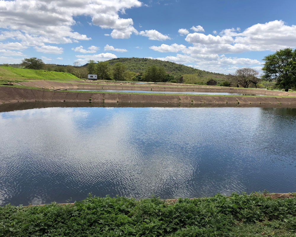
Water Use License Applications (WULA)
A Water Use License is required for any activity that takes place within a water course or within the 1:100 year flood line, as well as near a watercourse (500m). There are several triggers listed in the National Water Act under Section 21. These triggers range from storing of water, impeding and diverting flow of water, discharge of water and recreational use of water. During the project initiation phase, a screening process will be conducted to determine if the development will constitute a General Authorisation or a full Water Use License. The Department of Water and Sanitation is the competent authority for the issuance of these licenses.

Environmental Compliance Monitoring and Auditing
An Environmental Compliance Audit is undertaken to verify that a development is being established in line with the condition within its Environmental Authorisation(s). An audit is performed in term of Section 34 of EIA Regulations, 2014 (as amended) and against an EA, Waste Management License or WULA.
The Audit report (along with a compliance checklist) is submitted to the Competent authority or as directed by the Authorisations. An EA will stipulate as a condition of the it’s issuance that the site is monitored by an Environmental Control Officer at a prescribed frequency. Site visits are conducted consistently (during the construction phase and occasionally during operation).

GIS Mapping
Geographic Information System is a mapping tool that enables the user to layer data that are linked to specific coordinates. The user can utilize various combinations of data layers to create a unique map that depicts the development and the environmental sensitivities of the project area. At Hanslab, our Environmental Assessment Practitioners are equipped to undertake GIS mapping using ArcGIS software. These maps are generated to perform analysis and share information. This enhances the quality of our reports and provides the Client with a realistic impression of the proposed sites. Our mapping services include: Environmental sensitivity maps, high quality locality and aerial maps.

Borrow Pit Applications
A mining permit application is submitted to the Department of Mineral Resources (DMR) in terms of Section 27 of the Mineral and Petroleum Resources Development Act, 2002 (No. 28 of 2002) (MPRDA), as amended. Thereafter a Basic Assessment report is compiled (in accordance with the EIA regulations) and is then submitted to the relevant competent authorities and stakeholders. A mining permit is applicable if the required mineral can be mined optimally for two years and it the mining area does not exceed 1,5 hectares.